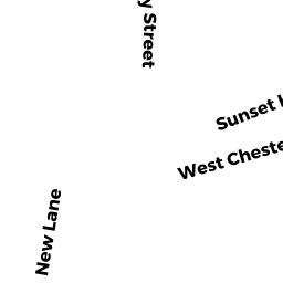
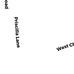
32A W CHESTER ST
Owner Information
ROREM NED TR
18 WEST 70TH STREET
NEW YORK, NY 10023


Property Details
32A W CHESTER ST is classified as a Single Family Residential (Cape cod).
The primary structure on this property was built in 2007. There are 992ft2 of built area within this property. There is 550ft2 of residential/living space within this property.
32A W CHESTER ST is valued at $1,443,700. The land is valued at $1,219,800 and the structures are valued at $223,900.
This property is in Zone ROH. Confirm with local Zoning Board authorities to ensure there are no overlays or other easements on this property.
The most recent deed for 32A W CHESTER ST is recorded at the local registrar in Book 00861, Page 0230. 32A W CHESTER ST was last sold on Friday, November 21, 2003 for $0.
Assessment data from fiscal year 2022.
Flood Data
According to the FEMA National Flood Hazard Layer, this property does not appear to be in a flood zone. It may also be in an area not yet reviewed. Nonetheless, confirm this information prior to taking any action.
To view the flood hazards around this property, create a FEMA "Firmette" Map of the area around 32A W CHESTER ST.
Broadband Internet Providers
| Provider | Type | Bandwidth (mbps) | |
|---|---|---|---|
| Viasat Inc | Satellite | 35 | 3 |
| T-Mobile | Fixed Wireless | 25 | 3 |
| Verizon New England Inc. | DSL | 15 | 1 |
| Comcast | Cable | 1000 | 35 |
| GCI Communication Corp. | Satellite | 0 | 0 |
| VSAT Systems, LLC. | Satellite | 2 | 1 |
| HughesNet | Satellite | 25 | 3 |
| Crown Castle Fiber | Fiber | 0 | 0 |
Broadband service provider data from December 2020.